Aerial Orthorectified Photography
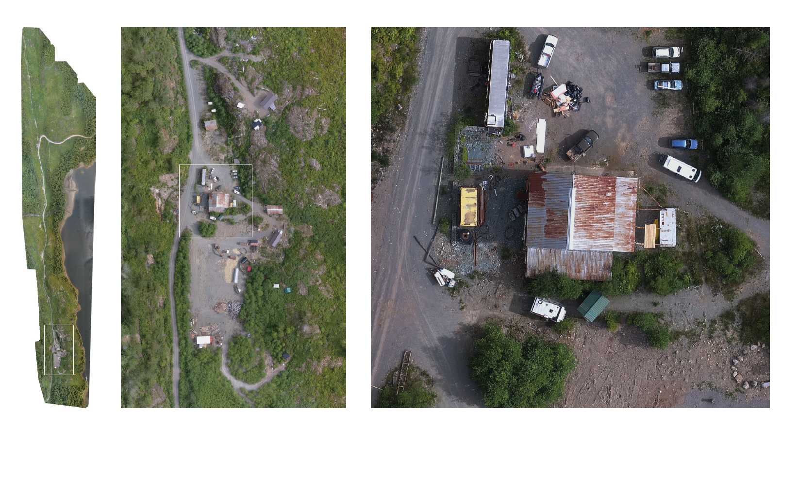
| Capture high resolution, orthorectified imagery of your territory on a regional or more detailed site scale. | |
| Monitor and protect vital cultural, archaeological and environmental resources in your territory. | |
| Improve the ability of your team and land use interviewees to complete a desktop review of an area. | |
| Make features visible that are missing from satellite image sources. |